Visualising My Route with TravelMap
With the help of TravelMap I'm now able to visualise my whole route to date!
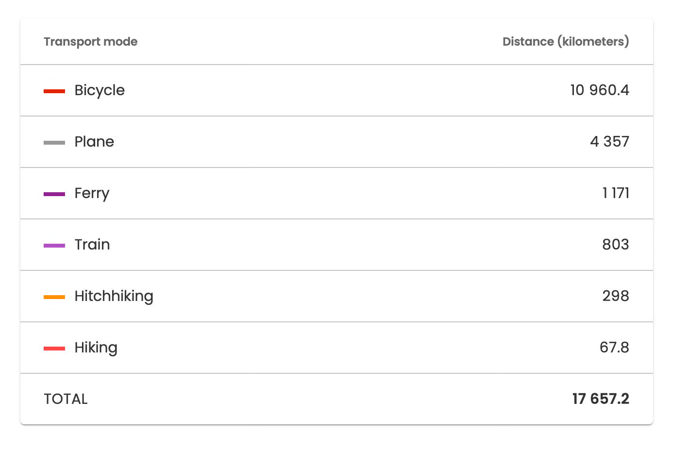
Since setting off from Wales 13 months ago, I've covered 17,600km (at the time of writing) mostly by bicycle, but also some not – like flying over war zones, and hitchhiking parts of Uzbekistan which were unbelievably unenjoyable!
TravelMap allows me to see the total distance of each transport type that I have used, allowing me to see how much of the 17,600km I’ve covered by bike (62.27%), vs by plane (24.76%), hitchhiked (1.69%) etc, which I think is an awesome feature.
The ‘Hiking’ mode does contribute to the total distance, however, these were largely GPS-tracked hikes around towns and cities I went to on the trip. I can remove these from the totals if I want.
However, the best part… utilising TravelMap's Strava integration, my daily activities are now synced automatically to the map, allowing me to spend more time cycling.
You can check out my route-to-date here.


